
Request A Free Quote!
Why Pre-Construction Surveying Matters
Skipping or shortcutting pre-construction survey work is one of the most expensive mistakes a project team can make. According to the Construction Industry Institute, errors and rework caused by inaccurate site data account for up to 5% of total project costs on commercial builds — a number that dwarfs the cost of a thorough upfront survey several times over. Investing in accurate topographic and construction survey data before breaking ground is not overhead. It's risk management.
Our Construction & Topographic Survey Services
Topographic Survey
A topographic survey Portland engineers and designers rely on maps the existing conditions of a site in three dimensions — capturing elevations, contours, slopes, drainage patterns, vegetation, structures, utilities, and other physical features. This data becomes the base map that civil engineers use to design grading plans, stormwater systems, road alignments, and building pads.
Whether you're developing a single infill lot or a multi-acre commercial site, a topographic survey Portland from our team gives your design professionals an accurate, field-verified canvas to work from. We deliver topo survey data in formats compatible with AutoCAD, Civil 3D, and other standard platforms your engineering team already uses.
Elevation Survey
An elevation survey Portland property owners and developers need documents the precise vertical position of structures, finished floors, and site features relative to a benchmark datum. Elevation surveys are commonly required for FEMA flood zone compliance, LOMA applications, and floodplain development permits. According to FEMA, properties with an accurate elevation certificate on file resolve flood insurance disputes and rate adjustments significantly faster than those without documented elevation data.
If your project site sits near a floodplain, creek corridor, or low-lying area, an elevation survey is not optional — it's the document that determines your flood insurance classification and your ability to build.

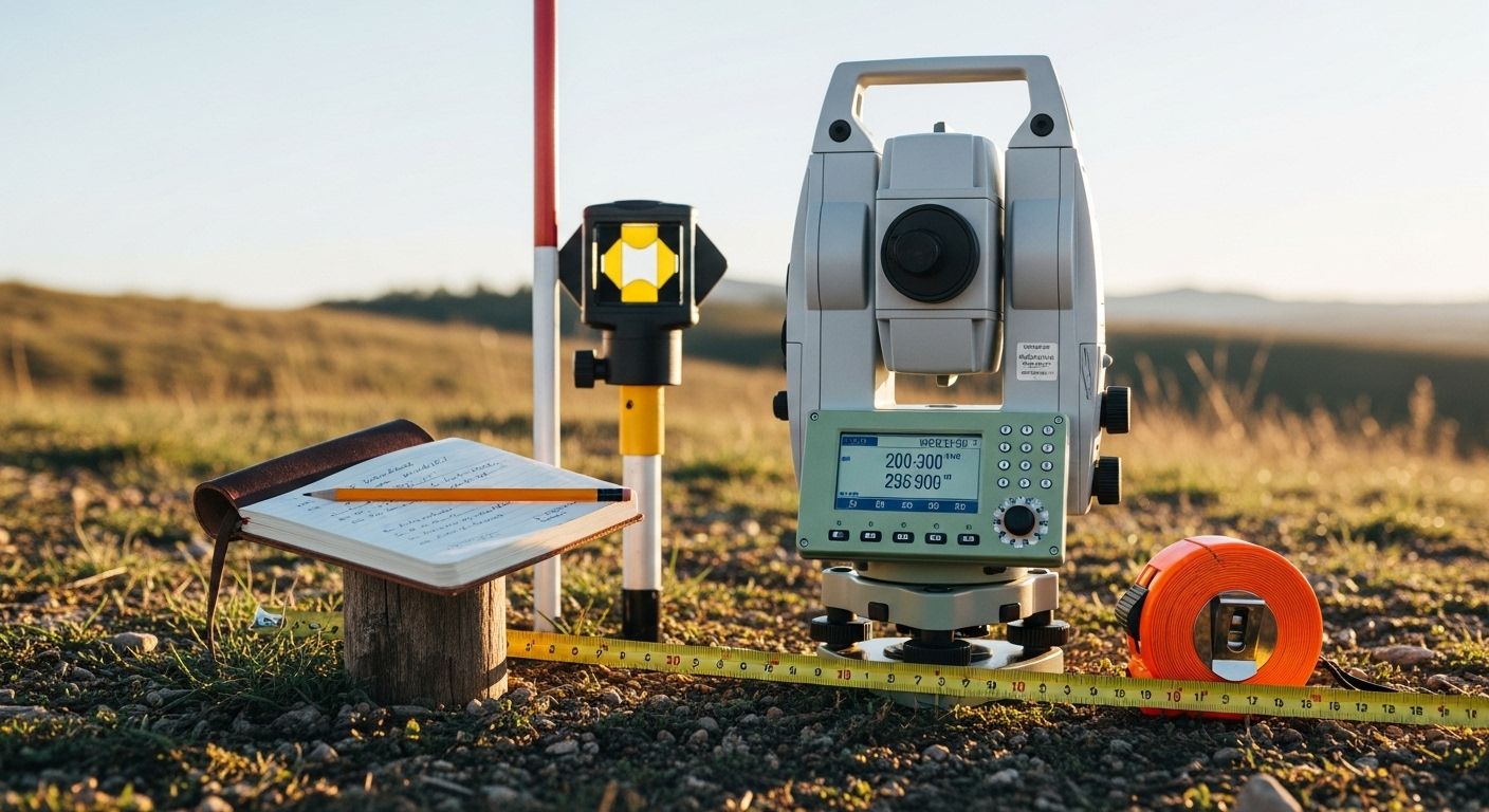

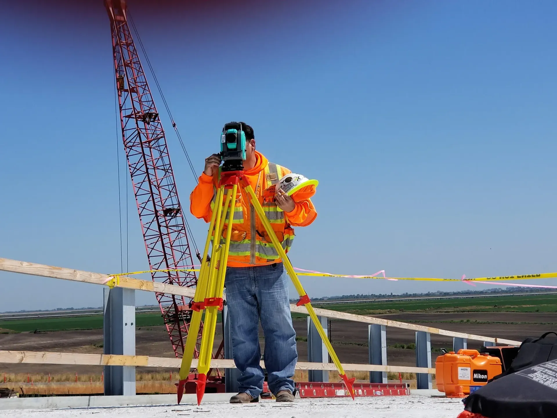
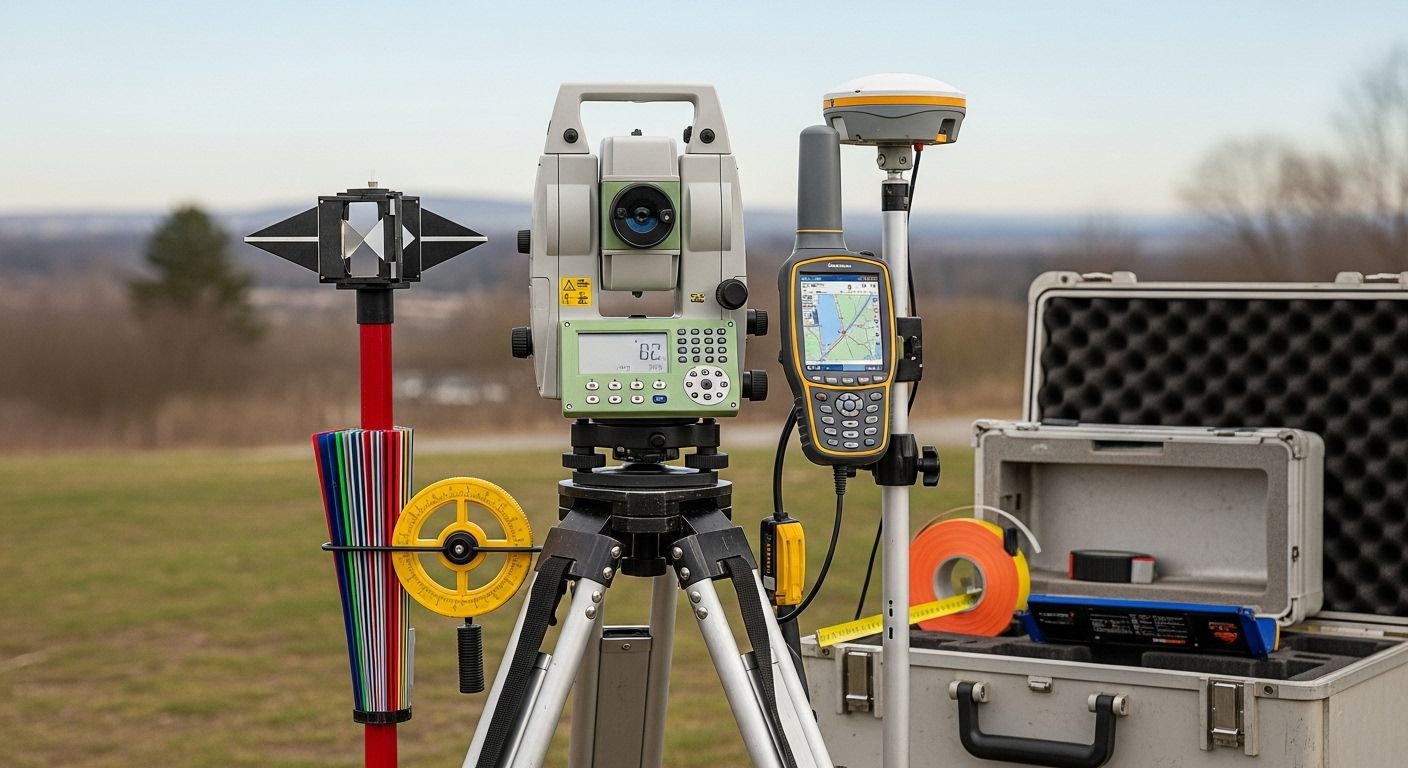

Construction Survey / Construction Staking
A construction survey Portland contractors depend on translates the engineer's design from paper into physical points on the ground. Our licensed land surveyor Portland team sets stakes, hubs, and offsets that tell your crew exactly where to excavate, where to form footings, where to set curbs, and how to establish finished grades.
Construction staking services we provide include building corners and offsets, rough and finish grade stakes, utility alignment and depth control, road and curb layout, and as-built verification. Whether your project is a custom home, a commercial pad, or a civil infrastructure job, accurate construction staking keeps your build aligned with the permitted plans and eliminates costly rework.
Supporting Survey Services
Many construction and development projects also require a boundary survey, property line survey, or commercial property survey as part of the entitlement or permitting process. Portland Land Surveyor offers the full range of land surveying services Portland project teams need under one roof — from initial topo through final as-built documentation.
What Does a Construction or Topo Survey Cost?
Land survey cost for construction and topographic work varies based on site size, terrain complexity, vegetation density, and deliverable requirements. A small residential topo survey costs considerably less than a full construction staking package for a commercial development. Portland Land Surveyor provides itemized proposals for every project so your land survey cost Portland is clear before we step on site.